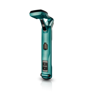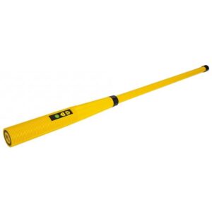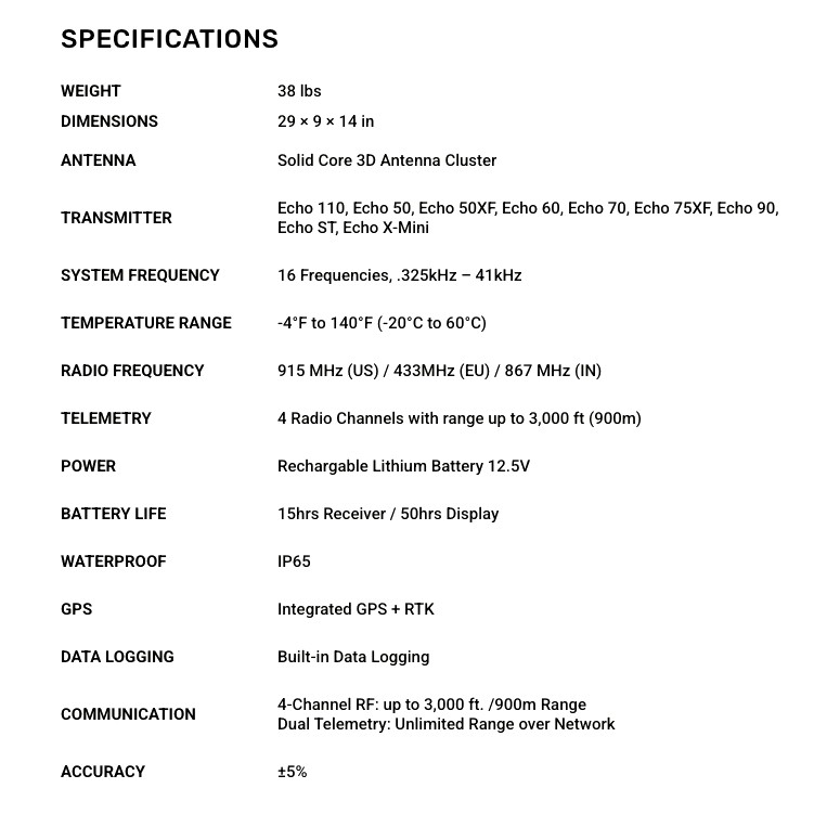
Mag X GEO System
The Mag X Geo builds on our trusted platform with a 7-inch color touchscreen that delivers clear, at-a-glance data. Tactile, multi-function buttons provide intuitive access to key features through fly-up menus. Guide every move with tools like Dropline and Pitch Guide for GPS-directed path and depth control, or engage Bore-To for projected depth and target alignment.
Precision GPS Data Logging
- RTK-Enabled GPS with 1–3 cm Accuracy
- GPS Tracking including Elevation
- Automatically Record Rod-by-Rod Metrics
On-the-Fly Functionality
- Views: Overhead Aerial, Side Profile Chart, Rod Table
- Tools: Bore-To Steering, GPS Dropline, Pitch Guide
- Logging: Rod Pitch, Roll, Temp, Depth, and GPS Data
Reporting Redefined
- Add Utility Crossings with Type, GPS, and Depth
- Generate, Share, and Sync Reports from Receiver
- Real-time Project Monitoring